Thursday, November 1, 2007
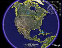
What is Aerial Mapping?
Wikiepedia defines it as "a geomatics method of collecting information by utilizing aerial photography or from remote sensing imagery using other bands of the electromagnetic spectrum, such as infrared, gamma, or ultraviolet." Ummmm...say what? It's basically just a better version of satellite imaging, pictures taken via a satellite in space.
Subscribe to:
Post Comments (Atom)


1 comment:
good results
Post a Comment